Landforms and bodies of water
- Southern Africa is bordered by the Indian Ocean on the east and the Atlantic Ocean on the west.
- Several of the region's countries are fairly large.
- To the east, the Aral Sea, a much smaller saltwater lake, straddles the Kazakhstan-Uzbekistan border.
Landforms
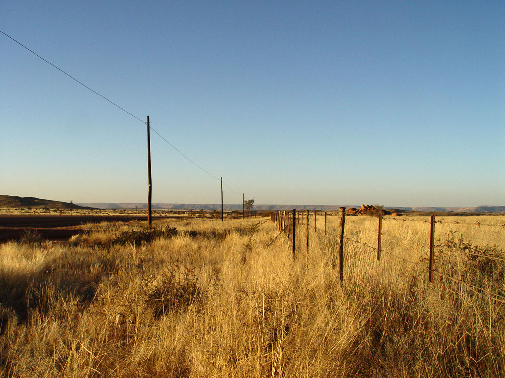
- A series of plateaus that range in elevation from 3,000 feet to 6,000 feet cover most of the region.
- The northern plateaus extend from Malawi across Zambia and Angola.
- These plateaus are largely forested.
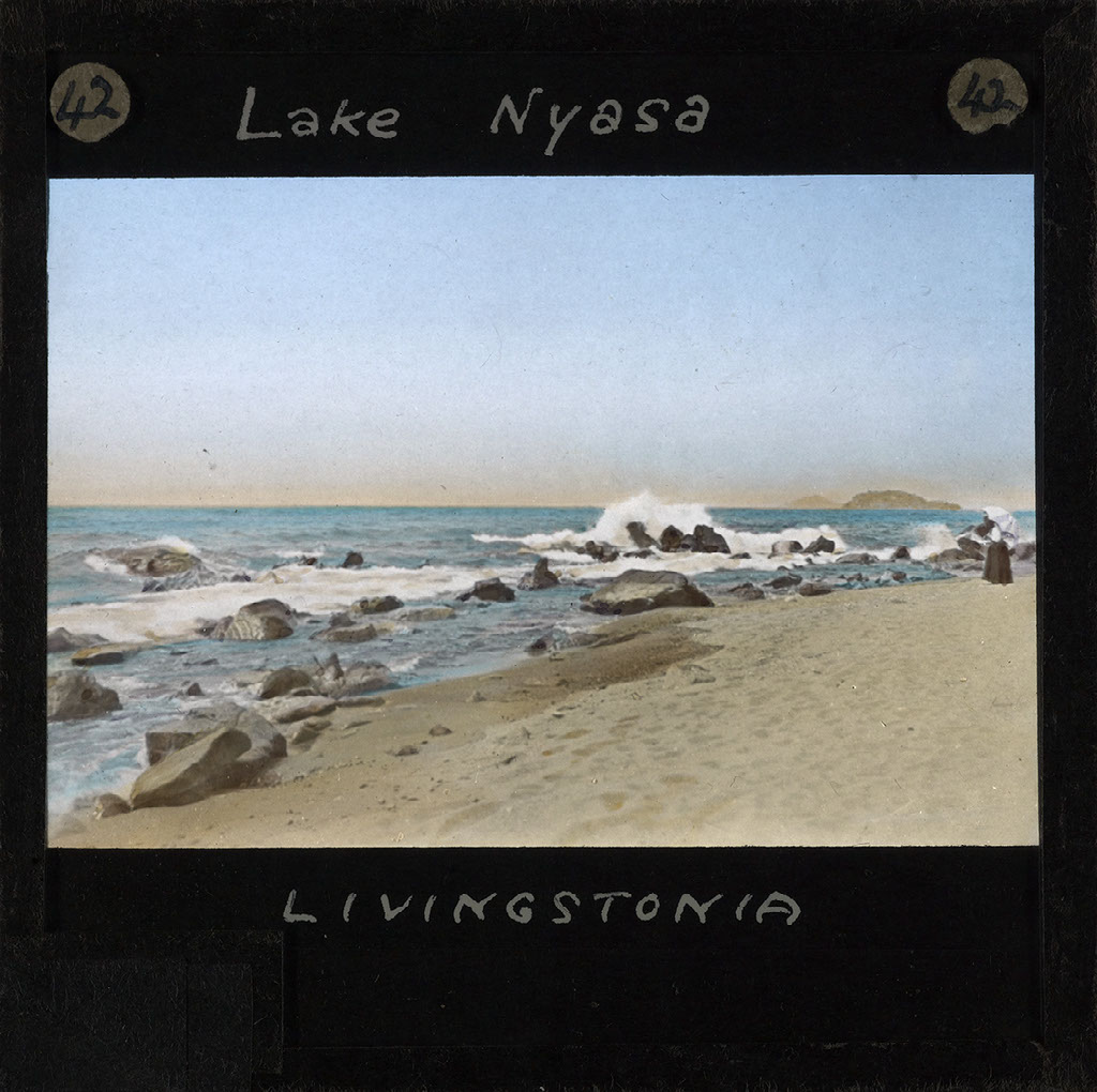
Bodies of water
- Three major river systems-the Zambezi, Limpopo, and Orange-drain most of southern Africa.
- The Zambezi, which stretches for 2,200 miles (3,541 km), is the region's longest river.
- Roughly a mile (1.6 km) wide and 350 feet (107 m) high, the falls are about twice the width and height of Niagara Falls in North America.
Which type of landform is common in Southern Africa?
The Kalahari desert
Climate-Tropical zone
- The Tropic of Capricorn crosses the middle of Southern Africa.
- Northern Angola and northern Mozambique have a tropical wet-dry climate.
- The high elevation makes the temperature cool.
Temperature zones
- Most of these areas are semiarid.
- Summer days are warm-from 70'F to 90'F to depending on elevation.
- Winters are cool, with frosts and sometimes freezing temperatures on the high plateaus.
Desert regions
- Western South Africa, western Namibia, and much of Botswana are arid.
- Along the coast, the Nambi gets very little rain.
- In some years, no rain falls.
Why are temperatures in Southern Africa's tropical countries generally not so hot?
The high temperatures make it cool.
What natural resources are found in Southern Africa, and why are they important?
Namibia is one of Africa's richest countries in mineral resources, and it is an important producer of tin, zinc, copper, gold, silver, and uranium.
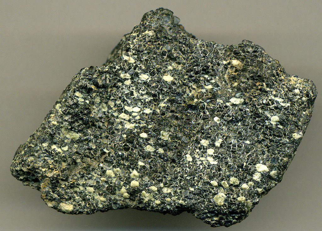
Southern Africa's resources
- The Republic of South Africa has some of the largest mineral reserves in the world.
- It is the world's largest producers of platinum, chromium, and gold, and one of the largest producers of diamonds.
- These resources, along with important deposits of coal, iron ore, uranium, copper, and other minerals, have created a thriving mining industry.
Energy resources
- The Republic of South Africa, Zimbabwe, Bostwana, and Mozambique mine and burn coal from their own deposits to produce most of their electric power.
- Mozambique has large deposits of natural gas as well, as does Angola.
- The region's rivers are another resource for providing energy.
Minerals and other resources
- Namibia is one of Africa's richest countries in mineral resources.
- It is an important producer of tin, zinc, copper, gold, silver, and uranium.
- It also ranks with South Africa and Botswana as a leading world supplier of diamonds.
Wildlife
- Southern Africa is known for its variety of animal life.
- Tourists come from throughout the world to see these animals.
- Poaching, or illegal killing game, is a problem.
How does deforestation affect the energy supplier in the region?
To reduce the water flow and electricity that the rivers produce.
History of Southern Africa-Rise of Kingdoms
- Southern Africa's indigenous people have inhabited the region for thousands of years.
Great Zimbabwe
- The capital was a city called Great Zimbabwe.
- As many as 20,000 people lived in the city and the surrounding valley.
The Mutapa Empire
- Like Great Zimbabwe, the Mutapa Empire thrived on the gold it mined and traveled for goods from China and India.
- The Portuguese arrived and took over the coastal trade in the 1500s.
Other kingdoms
Credits:
Created with images by coda - "Landscape" • kevinzim - "kopje@marabada" • Banco de Imágenes Geológicas - "Lago Titicaca y Salar de Uyuni (Perú-Bolivia) (NASA Terra-Modis)" • Tjeerd - "Smitswinkel Bay" • Sheila in Moonducks - "cycad" • SEDACMaps - "Summer Daytime Maximum Land Surface Temperature (LST), 2013: Africa" • PublicDomainPictures - "africa african alert" • Stig Nygaard - "Baixo Pinda" • James St. John - "Chromitite (Great Dike of Rhodesia, Neoarchean, 2.57-2.58 Ga; Caesar Mine, Mvurwi Range, northern Zimbabwe, southern Africa)" • PublicDomainPictures - "africa african alert" • Fæ - "Lake Nyasa, Malawi, Africa, ca.1860-ca.1900 (imp-cswc-GB-237-CSWC47-LS16-042)" • Robert Cutts (pandrcutts) - "The Chris Hani Baragwanath Hospital, Soweto"