“Marine mammal science needs a data-collection revolution." Ocean Alliance
Co-Existing With Whales Using Current Technology
Humans need to learn more about whales so they can learn to co-exist in the oceans with them. While we can not reach the depths of the oceans, whales can help us through the use of technology to monitor the oceans. This can also help humans avoid harming whales and help whales repopulate the oceans while freely carrying out life sustaining operations. While we have used technology to go to the moon, we are stilling discovering ways to use technology on earth to learn more about the oceans and life that lives within it, including whales. Some of the methods of technology found through this research include:
Aerial surveys conducted by 56 helicopter-based transect lines and 65 ship-based zigzag transect lines in the Norwegian High Arctic resulted in:
- 85 whales sighted by helicopter surveys
- no whale sightings by ship surveys
suggesting the use of aerial surveillance in sighting whales as a more useful too (Vacquié-Garcia et al, 2017).
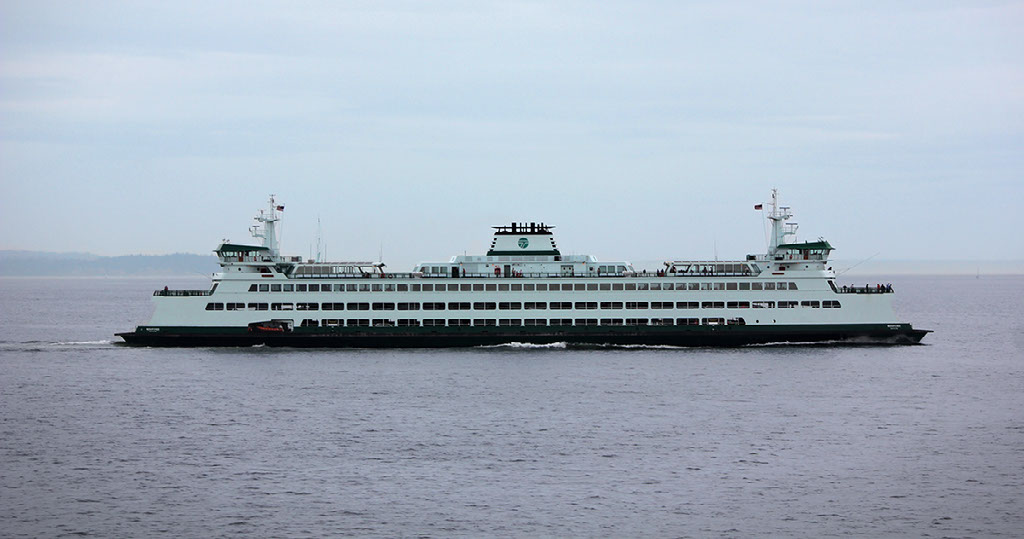
Research can be completed using the Automatic Identification System (AIS) which shows live global information of ships, including,
- ship names
- number of passengers
- speed
different ship types such as:
- merchant ships
- tankers
- passenger ships
- speedboats
- tugs
- fishing boats
- leisure boats
- other boats
Video Link: Marine Traffic and Vessel Finder
AIS has a variety of uses, including:
- traffic
- logistics and transport economy
- monitoring
- collisions
- emission
- oil spills
- noise
- interaction with whales
- fishing
- ice (Svanberg et al, 2019).
Link: https://www.marine-traffic24.com/ (AIS Marine traffic & Cruise ship tracker ⋆ Live Free ⋆ 2019, n.d.).
NASA and the National Centre for Space Studies have joined up to research zooplankton, from squid and krill, that migrate from the deep sea to the ocean surface to eat at night and then migrate back down to the deep sea before sunrise, known as Diel Vertical Migration (DVM) through laser that can reach to a depth of 20 metres as a result of varying climate and phytoplankton production.
Drones have a variety of uses, such as:
- Drones have been used by marine biologists to monitor whale populations and take aerial pictures to determine health status (Writer, 2019).
- Drones can also take a “thermal footprint” to locate animals and this technology can allow them to be used in foggy weather (Writer, 2019).
Ocean Alliance (n.d.) uses drones for several reasons:
- SnotBot - to take samples of whale blow to obtain "a treasure trove of valuable biological information: DNA, stress and pregnancy hormones, microbiomes and potentially many other biological compounds/indicators of the animal’s health and ecology". Link: https://whale.org/snotbot/
- EarBot - for the collection of "bio-acoustics data" to listen to whales in the water. Link: https://whale.org/dfwr/
- Photogrammetry -determining animal size by taking pictures using a developed cheap LIDAR-based height sensor. Link: https://whale.org/dfwr/
- Infrared Imaging -by using a FLIR camera of infrared light to obtain a “whole range of data forms that a conventional visible-light camera could not detect”.Link: https://whale.org/dfwr/
Ocean Alliance have found drones to be a “cheaper, safer, faster and more efficient” alternative for procedures that hold key advantages over vessel-based and aircraft-based systems. Link: https://dronelife.com/2017/10/05/flir-thermal-camera-track-whales/ (Murison & Murison, 2017).
Gear markers for fishing gear have advantages and disadvantages in relation to specific uses and include:
- flags/floats
- color markings
- printable tracer
- physical tags
- chemical marking
- coded wire tag
- RFID passive
- AIS transponder
- radio beacon
- satellite buoy
- acoustic transponder
- passive acoustic reflector
While satellite buoys have unlimited range, they are too expensive for fishing applications (He & Suuronen, 2018).
Research on whales can be conducted through genetic evidence of whale DNA (Pearce, 2010) “used with radiocarbon dating and predictive modelling to try to reconstruct past distributions” (Moss, 2017).
Geneticists use this approach to estimate the size of the population in the past since large populations tend to accumulate diversity through random DNA mutations and breeding, while small populations lose it through inbreeding suggesting dramatic results (Pearce, 2010).
Giant suction cups can attach a GPS to a whale’s back, if the researchers are quick enough, to:
- gain data for whale movement information
- record the depths whales are capable of diving (Howard, 2019).
Video Link: POV: See Antarctica From the Back of a Whale | National Geographic
British Columbia Ferries Dock, one of the biggest ferry operations in the world, installed special thermal infrared cameras on the dock at Sturdies Bay, Galiano Island, British Columbia, Canada, as an initiative with the Woods Hole Oceanographic Institute with funding from the Government of Canada, to detect temperature differences of whales, surroundings waters and air, which work day and night to help avoid marine mammals when they are not vocalizing or making noise, and while the cameras have weather limitations of dense fog and rain, it is hoped this will help avoid whale strikes. (McCulloch, n.d.).
Research has shown LED lights on fishing nets can reduce bycatch of the following species:
- Small cetaceans, such as dolphins and other marine species, can be reduced "by more than 66%" from being bycatch when using LED lights on gillnets. Link: https://marineconnection.org/lights-on-fishing-nets-helps-save-dolphins/?fbclid=IwAR0w6opiELzHczHDj8evjmSEFVPRGDXWvOIWclhdaPGD1HWwHO6VKHV26bA (Lights on fishing nets helps save dolphins, 2019)
- Sea Turtles can see some light wavelengths. LED lights in green and ultraviolet showed up to a "60% reduction in turtle bycatch" in Indonesian and a "20% boost in the target catch for participating fishers". Link: https://www.worldwildlife.org/magazine/issues/spring-2017/articles/can-led-lights-save-sea-turtles (Can LED lights save sea turtles?, n.d.)
In the Mediterranean research for sperm whales has been conducted using sound data from hydrophones to determine the species:
- size
- speed
- direction
- population
- seasonal habits (Nosengo, 2019).
Link: http://www.oceannetworks.ca/listening-deep (Ocean Networks Canada, n.d.).
In the western North Atlantic, up-calls of North Atlantic right whales are scanned by a series of passive acoustic arrays using algorithms which are then transmitted to all ships within five nautical miles of the receiving buoy to help ships avoid these endangered whales (Williams et al, 2016).
Link: www.listenforwhales.org
As climate change is warming ocean waters, the food source of whales is changing thus changing foraging grounds for whales.
The Endangered North Atlantic Right Whale has shifted its feeding ground from the Bay of Fundy by swimming around Nova Scotia to the Gulf of St. Lawrence (Carpenter, 2018).
Killer Whales are moving into the Arctic with melting sea ice (Christie et al, 2018).
The Coast Guard in Canada sends out alerts through the NAVWARNs system by radio and online so mariners have current information for protection of North Atlantic right whales (Transport Canada, 2019).
12. Net-Works is the remodeling of global supply chains for “sustainable and scalable solutions” including:
- the reduction of marine plastic such as unwanted fishing nets
- increase of fish stocks
- improving the lives of marginalized coastal communities located in “biodiversity hotspots” of the Philippines and Cameroon, with plans for Indonesia, for “less plastic, more fish”
- a supply chain for carrageenan (seaweed extract) in Southeast Asia without having carrageenan becoming the “palm oil of the sea”.
Video Link: Interface | Net-Works: turning waste nets into carpets
Link: https://net-works.com/about-net-works/ (About Net-Works - Net-Works, n.d.).
With this technology the giant spool is stored on the seafloor with the lobster traps so vertical lines are out of the way of whales until the vessel is on site to haul the spool back up for retrieval (Lacapra, 2017).
Link: https://techtransfer.whoi.edu/technologies/on-call-buoy/ (Ball and Partan, n.d.).
It is suggested the analysis of data variables using computer technology to map areas in the western Mediterranean can help researchers understand whale behavior (The second largest whale in the world slows the build-up of CO2 in the sea, 2019).
Mariners can share whale sightings near shipping lanes with other mariners in real time by way of communications satellite in and near the Pelagos Sanctuary for Mediterranean Marine Mammals (Williams et al, 2016).
Video Link: REPCET: technology in the service of whales
Link: www.repcet.com (What is REPCET, n.d.).
Research tools advancement including:
- molecular genetics
- photo-identification
- satellite telemetry
have increased knowledge related to:
- population structure
- management improvement of delineated stocks
- previously unrecognized discrete population segments (Roman et al, 2013).
Parks Canada is doing an online official census of Sable Island's grey seal population using a satellite photos where the public views the photos and click on each of the seals to help do the count.
Link: https://www.zooniverse.org/projects/dan-kehler/sable-island-npr-grey-seal-count/classify
“smartWhales” uses satellite data for the detection of right whales and for the prediction of their movements to help in the prevention of ship and fishing gear interactions.
The 8th continent, a floating station, is a "living organism that is fully self-sustainable" designed to restore the health of an ocean and recycle plastic.
Turtle Excluder Devices (TEDs) address “interactions between sea turtles and trawl fishing gear” constructed with “metal bars and mesh” so “shrimp pass between the bars to the back of the net”, while “turtles and other larger animals” can escape through a flap.
Link: https://www.fisheries.noaa.gov/southeast/bycatch/turtle-excluder-devices (Nooa, n.d.).
UK Cetacean Strandings Investigation Programme (CSIP) coordination of the “investigation of all cetaceans, marine turtles and basking sharks that strand around the UK coastline” including “unique insights into:
- Causes of death
- Diseases
- Environmental contaminant levels
- Reproductive patterns
- Diet
- Other aspects of the general health of cetacean populations in UK waters
Link: https://www.zsl.org/science/research/uk-cetacean-strandings-investigation-programme-csip (UK Cetacean Strandings Investigation Programme (CSIP), n.d.).
Mariners can obtain information on changing whale management areas and whale sightings in close to real time to help reduce whale strikes (Williams et al, 2016).
Video Link: Whale Alert App!
Link: www.whalealert.org (WhaleAlert, n.d.).
“Ropeless creels” are being trialled along Scotland’s coast for use as shellfish creels where the main line is stored in a container with the buoy on the seafloor to remove the risk to whales entangling in rope. The creels can stay for 24 hours, or longer if weather prevents removal, when it is retrieved electronically. The Scottish Entanglement Alliance (Sea) indicated “the fishing industry was key to the solution to ending entanglement” of whales.
Link: https://www.bbc.com/news/uk-scotland-highlands-islands-51134094
"Whale Safe is a tool that displays both visual and acoustic whale detections in the Santa Barbara Channel" including a model for blue whales, which "ranks vessels and shipping companies according to their rates of cooperation with NOAA’s voluntary speed restrictions".
Continue to next Module here:
Credits:
Created with images by Bart van meele - "A Humpback-whale shows his fluke as it dives in the sunset over the Arctic fjords of Norway. The light just before the nearly two month lasting Polar-Night is simply wonderful." • Abraham Osorio - "It was the rare occasion where friends from Canada had an extra long layover at LAX, so I picked them up kind of deal. We went out to breakfast, and then went for a walk on the beach. Here’s what we saw." • Alexandr Popadin - "Istanbul" • Lysander Yuen - "untitled image" • Ingo Hamm - "Fishing Net in Sweden" • NOAA - "Pod of killer whales" • Francesco Ungaro - "untitled image" • Sheri Hooley - "untitled image" • Anubhav shekhar - "untitled image" • Alain Rieder - "Whalesafari | Andenes, Norway" • Humberto Braojos - "Whales at Moss Landing, California." • Anders Jildén - "Icebergs of Iceland’s Vatnajokull" • garrett parker - "boat captain" • Yannes Kiefer - "untitled image" • Ethan McArthur - "untitled image" • Shrimay Dash - "HyperX Mechanical Keyboard [2]" • Ayotunde Oguntoyinbo - "Sailing into the Sunset. " • vivek kumar - "An amazing find during my whale watching trip at monteray california" • armennano - "seal gray seal crawling" • janeb13 - "blue whale ocean mammal" • PIRO4D - "earth planet continents" • Cédric Frixon - "Surprise “guest” on my quick dive in the clear waters of Barbados. He makes a great model, doesn’t he?" • Jackie Eggins - "untitled image" • Shaah Shahidh - "untitled image" • Olivier Rouge - "untitled image" • Fabrizio Conti - "untitled image" • Lachlan Dempsey - "Two young Dolphins caught on camera headed north just as the sun breaks through the horizon."